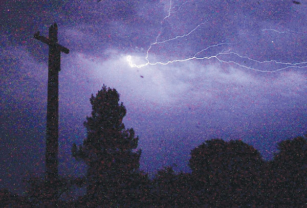
With dry ground cover throughout the area and the potential of dry lightning striking down in the Bay Area, the National Weather Service has put out a “red flag warning” through Tuesday.
Red flag is a fire weather program which highlights the onset of critical weather conditions conducive to extensive wildfire occurrences, as defined by the NWS.
Forecaster Bob Benjamin said there is a “20 to 30 percent chance of lightning and thunder in the area,” beginning Monday afternoon and running through Tuesday. There is mid-level moisture and a low pressure system sitting just off the shore, which are indicators of the potential for lightening to occur, according to Benjamin.
He said the red flag warning is put out to mostly alert fire departments of the increased potential of fire calls during the specified time frame.
Sunday evening, most of the activity was over the Sierra Mountains, but the clouds and associated showers are spreading over the North Bay and transitioning south, according to the NWS.
What is strange, Benjamin added, is that a majority of the moisture will probably not reach the ground, which is the reason for the red flag warning.
According to the NWS, on Monday afternoon Hollister will see a high of 94 degrees and dips to a low of 59 degrees in the evening with a slight chance of thunderstorms. The same goes for Tuesday, with a high of 87 degrees and low of 57. Clear to partially cloudy skies are expected for the rest of the week with highs in the mid- to upper-80s.
Two major rural burns caused by lightening happened in the not-too-distant past, including the Hummingbird and Whitehurst fires that swept through rural northwest Gilroy in 2008. The Whitehurst Fire gobbled up chunks of thick forested mountainside high up in the Mt. Madonna area west of Gilroy, while the Hummingbird Fire consumed more than 400 acres in the Hayes Valley area on the north side of the ridge and south of the ridge toward Day Road.


