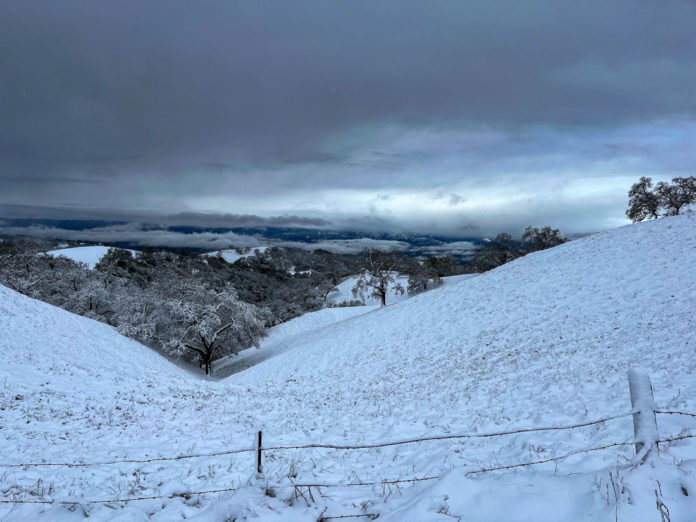
With the web-footed walk that happens in snowshoes, Sean de Guzman, manager of the state snow surveys and water supply forecasting unit in the Sierra Nevada, performed the season’s second snow survey Jan. 31.
It happened hours ahead of an atmospheric river and cold front that was expected to sweep down from Canada on Tuesday night, boosting snow levels but also bringing a threat of floods.
The good news is they measured a modest increase since the year began. The snow depth is 29 inches, with a water content of 10 inches. That’s 58% of average to date at the same site. Overall conditions are still far below normal, according to a statement from the California Department of Water Resources, or DWR.
De Guzman’s was one manual measurement out of 260 snow stations throughout the state. There are also 130 automated stations that measured a snow water equivalent at 8.4 inches, or 52% of average for this date. Statewide precipitation is 82% of average for this date.
Last year’s historic snowpack, which was 214% of average on the same day, was aided by both above normal precipitation and below average temperatures.
“With a warming climate we expect a new norm, we tend to see more rainfall where you would typically see snow,” said de Guzman. “It’s very possible we could see above average rainfall combined with below-average snowpack, which is typically referred to as a ‘snow drought.’”
The elevation where snow accumulates is also rising higher with climate change, now at an average of 6,500 feet, according to state climatologist Michael Anderson.
“The really important part of this cold front is that snow level drops to maybe 3,000 feet,” he said. “Maybe up to three feet will collect for some parts.”
De Guzman said the state’s reservoirs are catching 1.4 million acre-feet of storage, 116% above average. Lake Oroville, the State Water Project’s largest reservoir, is currently 76% of average.
Considering the coming storms, the Lake Oroville reservoir increased its releases to up to 6,000 cubic feet per second. According to Molly White, DWR principal engineer, they are planning an additional increase Wednesday to 12,000 cubic feet per second.
The new atmospheric river system moved into the Bay Area this week, beginning early Wednesday. The North Coast was forecast to be hit the hardest, said de Guzman, with a category 3 system predicted. Elsewhere on the coast they are expecting category 1 to 2 storms. The categories are used by the National Weather Service to rank atmospheric rivers on a five-point scale, from having beneficial effects to hazardous impacts.
Anderson, the state climatologist, predicts some localized flooding in the cities, as well as potential flood stage levels at rivers including the Russian River.
“Be aware. Be prepared. Take action,” de Guzman said.
DWR and the State-Federal Flood Operations Center have been working with communities and emergency response agencies to coordinate flood response and preparations. The best place to get updated information is through local emergency providers, the department said.
If local authorities issue an evacuation order, do not delay, follow local guidelines for evacuation and never attempt to drive through a flooded roadway.
Copyright © 2024 Bay City News, Inc.


