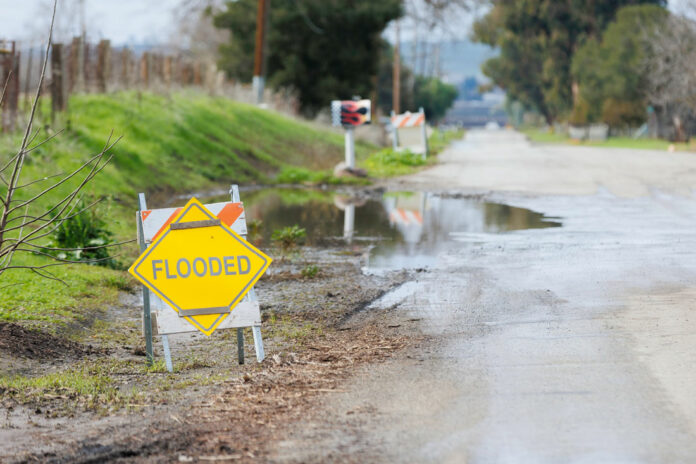
Although recent rains have saturated Hollister and the surrounding areas—with more precipitation on the way—experts advised this week that California is nowhere close to being out of its ongoing drought.
A lingering storm over New Year’s weekend, from Dec. 30-Jan. 1, dumped a steady downpour on San Benito County, bringing the 2022-23 season’s rainfall total to 8.26 inches, according to the San Benito County Water District’s website. That’s already close to last year’s full season total of 9.36 inches. The 10-year average annual rainfall for San Benito County is 10.86 inches.
Another storm with similar conditions is approaching the Bay Area and Central Coast Jan. 4-5, prompting the National Weather Service and public safety officials to advise residents and motorists to be cautious. But water district spokesman Shawn O. Novack said it won’t be enough to end the state and regional drought.
“It’s really good to see that rain but we’ve got a long way to go to dig ourselves out of the drought,” said Novack, Water Conservation Program Manager for the San Benito County Water District. He noted that San Luis Reservoir in San Joaquin County was at about 35% capacity on Jan. 3, after the recent series of storms. And that’s only about 55% of the reservoir’s historical capacity for this time of year.
San Benito County relies on San Luis Reservoir for a significant portion of its water supply.
Hernandez Reservoir in South San Benito County was only at about 9.5% of its capacity as of Jan. 3, Novack added.
Novack added that the “good news” is that the Sierra snowpack is currently about 174% of average. However, that could also drop dramatically before the rainy season is over in May.
Also encouraging is the fact that the San Benito River is running swiftly, Novack said. That water will help recharge the county’s underground water supplies.
Novack reminded residents that mandatory water restrictions are still in place due to the ongoing drought.
In terms of damage or danger, the New Year’s weekend storms led to some localized flooding along roadways in San Benito County, according to authorities. Sheriff Eric Taylor said his office received reports of flooding in the Lovers Lane and San Felipe Road areas. Pacheco Creek reached “flood stage” briefly over the weekend, and Taylor expects that to happen again with the late-week storms.
“Residents in low lying areas, especially along the Pacheco Creek, should be self-monitoring in case flooding occurs,” Taylor said. “We have only three Deputy Sheriffs working the entire county so we cannot be everywhere, and people should not rely on a face-to-face evacuation warning should one become necessary. It is almost certain Pacheco Creek will hit flood stage by Thursday morning (Jan. 5).”
Taylor advised residents to text SBCSO to 888-777 to receive Nixle alerts from the sheriff’s office, which would include flood advisories and evacuation warnings.
The Jan. 4-5 “Pineapple Express” storm is expected to bring widespread flooding, high winds and power outages to the Bay Area, South Valley and beyond, according to the National Weather Service. A flood watch has already been issued for the Bay Area Jan. 4-5.
Forecasters are predicting at least 2-3 inches to fall on San Jose, and a similar amount on Hollister during the Jan. 4-5 storm—with totals reaching 6-10 inches in hillside and coastal mountain areas.
“To put it simply, this will likely be one of the most impactful systems on a widespread scale that this meteorologist has seen in a long while,” shared a NWS meteorologist. “The impacts will include widespread flooding, roads washing out, hillside collapsing, trees down (potentially full groves), widespread power outages, immediate disruption to commerce, and the worst of all, likely loss of human life. This is truly a brutal system that we are looking at and needs to be taken seriously.”


